12/22/2012
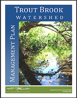
Conservation District publishes Trout Brook Watershed Management Plan
Click photo to download.
Click here for appendicies.
For more information please see
Cumberland County Soil and Water Conservation District website.
The Cumberland County Soil & Water Conservation District has completed a management plan for the Trout Brook watershed.
Download: Management Plan | Appendicies
Trout Brook, a 2.9 mile stream that runs along the northeastern South Portland/Cape Elizabeth boundary, has been listed as an urban impaired stream by the Maine Department of Environmental Protection because it is not meeting state water-quality standards.
Increased storm water from impervious surfaces such as rooftops, parking lots and roads are blamed for the poor water quality.
Cape Elizabeth has collaborated with the City of South Portland and the Soil and Water Conservation District to develop the plan, which was scheduled for presentation to the Town Council at a workshop Dec. 3, 2012. Presentation Notes
The goal of this plan is for Trout Brook to meet state water-quality standards by 2023.
The 70-page document, not including appendicies, outlines strategies to meet the goal and assigns responsibilites for those strategies. Cape Elizabeth's highest-priority actions in the plan include working with farms to install nutrient and manure management best-management practices; encouraging conservation of agricultural and undeveloped lands; enforcing shoreland zoning regulations; providing outreach and technical assistance to farms and to the Purpoodock Club golf course; and, participating in a Trout Brook work group that will meet at least once a year.
For watershed maps more information, please see the Cumberland County Soil and Water Conservation District website.
